Mobility Topography Model
Description
The future of our cities will be shaped by how we respond to emerging transportation technologies. Innovative computational tools could help urban planners identify solutions, and increase the probability of making global society safe, sustainable, and equitable.
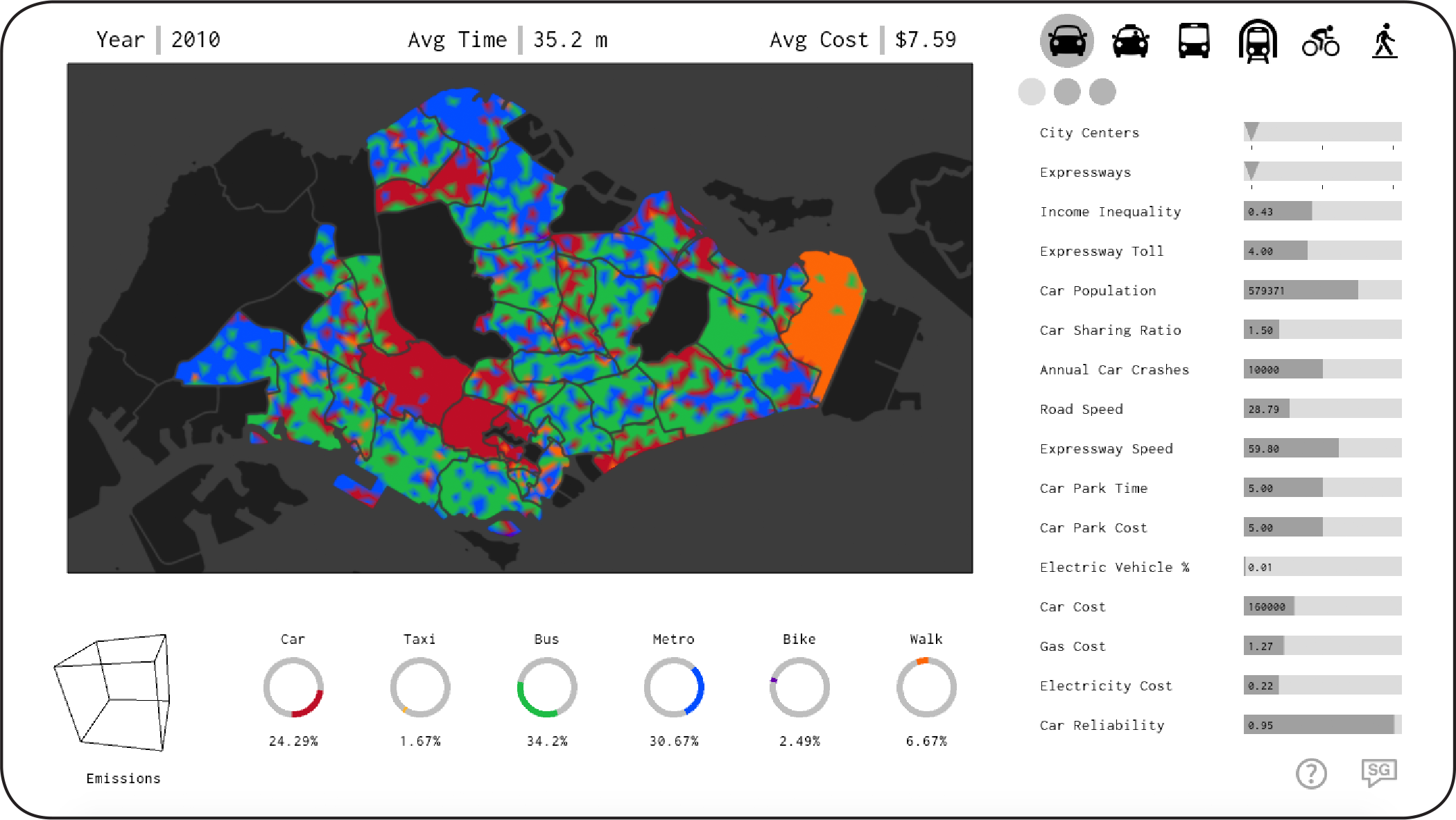
The mobility topography model is a faster, more flexible, visual, and tactile variation on traditional transportation modeling techniques. The resulting visual representation of probable modal choice is governed by user interaction, and based on actual ridership data, transportation infrastructure, and economic conditions. It is designed to function as an intermediary between the human imagination and the unimaginable complexity of an urban transportation system.
Screenshot
Free Download
Mac OSX Windows x64 Windows x32
About
This project was developed by Zachary Trattner for his thesis project in the Masters of Advanced Architecture program at the Institute for Advanced Architecture of Catalonia (IaaC) under the guidance of thesis advisor Vicente Guallart and assistant advisor Ruxandra Iancu Bratosin. Invaluable technical assistance in developing this applet was provided by Angel Muñoz and Angelos Chronis.
For further information please contact [email protected]